24 October 2009
On the trail of the... project. Motivations, techniques and results.
The main objective of the project "On the Trail of the Glaciers" is, through several expeditions, the acquisition of modern photographic images that reproduce the exact points of view of shots taken at the beginning of the last century by the most famous explorer photographers. These new images will provide scientists and scholars with the basis for comparative observations on the state of the world's most important glaciers, precious indicators for the evaluation of the current climatic state, and above all of its evolution over time.
This year, on the occasion of the 100th anniversary of the Duke of the Abruzzi's expedition to Karakorum, the first of the expeditions planned as part of the project was carried out, allowing us to collect a considerable amount of data in the same places visited by the historical expedition 100 years later.
The idea behind the project was born in recent years, matured through some important experiences in my work as a nature photographer and mountaineer. In the summer of 2004, I was engaged as the official photographer of the mountaineering-scientific expedition commemorating the 50th anniversary of the first ascent to K2, the second highest mountain in the world. In preparation for that expedition I had already conducted some research, with the collaboration of the Italian Geographical Society, to replicate some of the shots taken by Massimo Terzano and Vittorio Sella; unfortunately, commitments for the production of the expedition's reportage, especially at high altitude, had prevented me from reaching the locations I had already identified.
In the following winter (2004-2005) I carried out a reportage on the glaciers of Argentinean and Chilean Patagonia, during which I became convinced of the real need to divulge certain values that I consider fundamental. both in my professional activity and in the field of environmental issues. Contextualising photography in a multidisciplinary project, I imagined involving glaciologist researchers in order to address together environmental issues of primary importance such as climate change, of which glaciers are extremely sensitive indicators, and issues related to energy saving and the sustainable management of natural resources in general, first and foremost water.
When I returned from Patagonia, I started to study a possible project that could combine photographic and scientific intentions. I contacted Prof. Claudio Smiraglia, one of the world's leading glaciological experts, who enthusiastically accepted my proposal to collaborate, providing invaluable hints and suggestions for the design of the entire project.
The following years were spent among museums, foundations, archives and libraries, studying the historical texts and diaries that the first explorers left us, and analysing the photographs and topographical maps that would allow me to identify the exact geographical points from which their shots were taken.
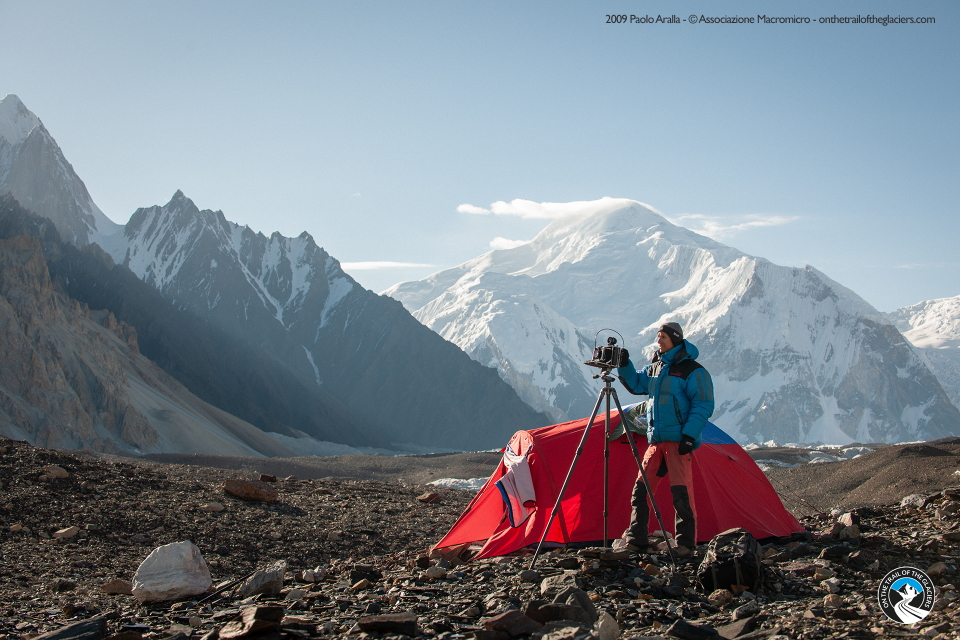
The images that I gradually included in the selection had to meet two basic requirements: they had to be of considerable aesthetic impact and they had to be of substantial scientific interest. Parallel to this research, I also wanted to track down as much information as possible on the equipment used by the early photographers, with the aim of designing my own shots with the same magnification ratios and thus deciding which camera bodies and lenses to choose for the new shots. The final choice fell on the Linhof Technorama 617 S III, a camera capable of making slides in the spectacular 6×17 cm panoramic format, and the Linhof Master Technika 3000, a folding camera capable of making photographic plates up to 4×5 inches (10.5×12.7 cm). The Master Technika was also used during the first expedition to obtain panoramic mosaics, thus realising long horizontal scans at very high resolution, as both Sella and Terzano had done in the past.
The decision to shoot all the images on film was almost compulsory, for several technical reasons: firstly, the need to achieve the same enlargement ratio as that obtained by the historical authors; secondly, the desire to push the quality of the shots to the instrumental limits available today, with the possibility of obtaining images at extremely high resolutions, which are still impossible to achieve even with the best digital SLRs: from the 4000 dpi digitisation of a 4×5 inch photographic plate, a bitmap image of 16. 000×20,000 pixels (i.e. a total of 320 million pixels per image!). During the expedition, panoramic mosaic images composed of as many as seven plates were produced, which when merged form a single image of almost 80,000 pixels in length: similar resolutions allow for completely interpolation-free prints of up to more than twelve metres!
Various methods were used to locate the photographic points. The use of historical photographic prints directly in the field was a fundamental aid in analysing the surrounding landscape.
Also of great importance were the comparisons between historical topographical maps, kindly provided by the Military Geographical Institute, and modern ones, which provided us with excellent hints for the identification of different locations.
Finally, we always had with us a GIS with a three-dimensional model of the Karakoram territory (DEM, Digital Elevation Model) for analysing and forecasting the shooting points before physically reaching them. All of this was accompanied by a careful reading of the accounts of the first photographers and explorers, who, thanks to their travel diaries, provided us with very useful indications and detailed descriptions of their experience.
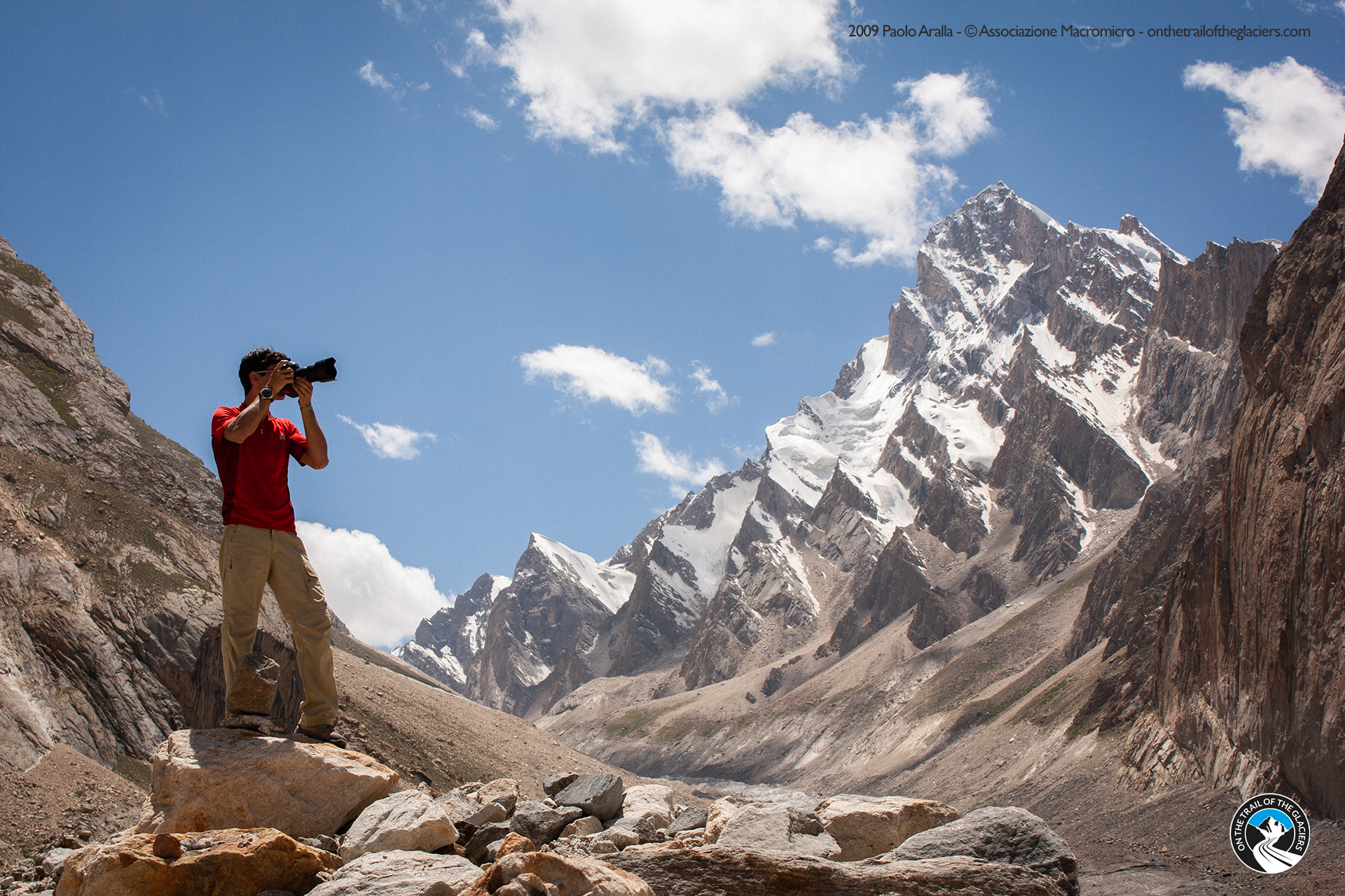
In the gallery accompanying these notes, we present a selection of the comparison images we took during this year's expedition, as well as a collection of backstage images collected during field research and preparation studies in Italy.
Hoping that these views will stimulate a renewed enthusiasm for the themes we are tackling, we leave you with an appointment for the coming months, with the new activities planned as part of the project "On the Trail of the Glaciers", including the photographic exhibition and the documentary.
A presto!
Comparisons


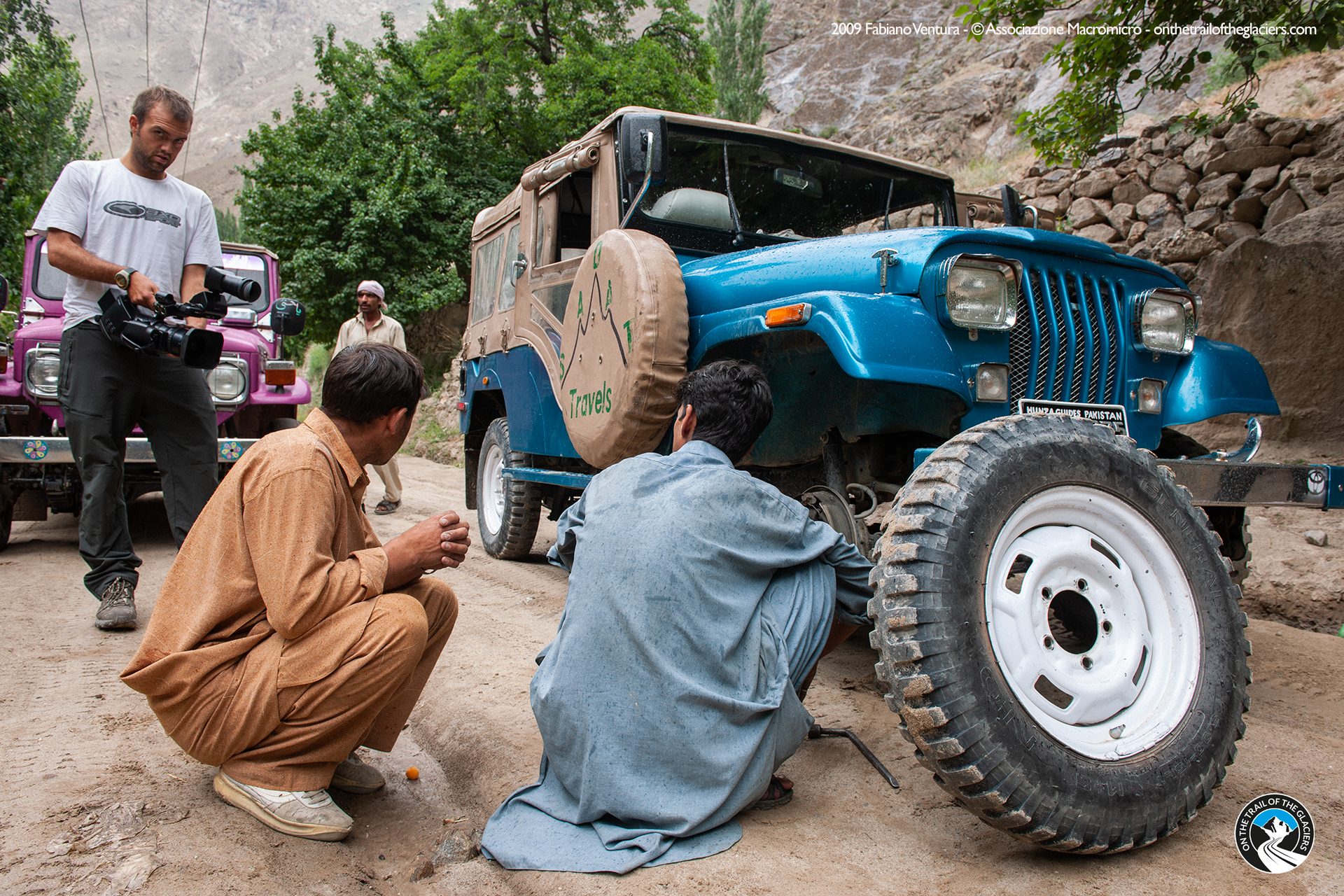
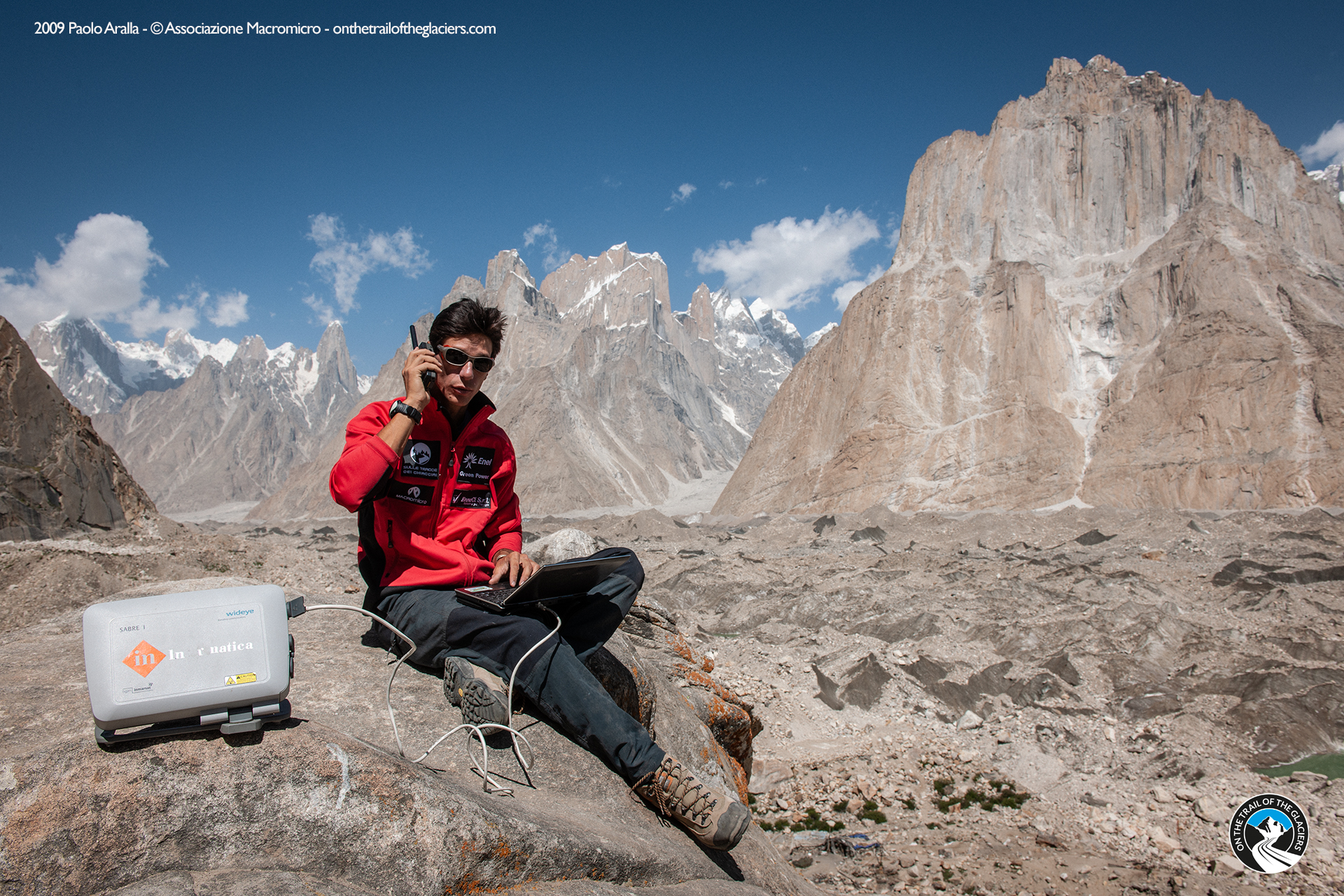
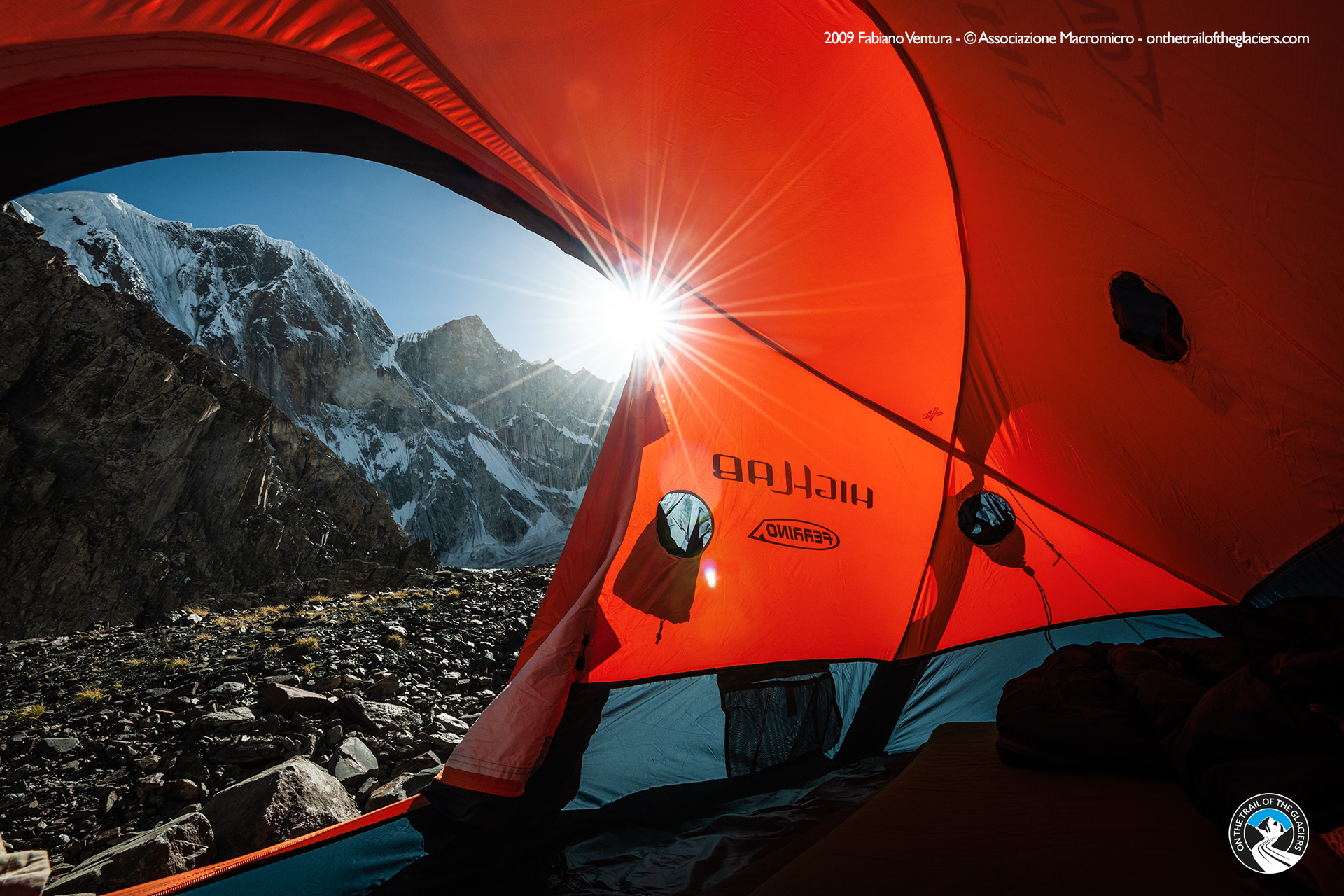
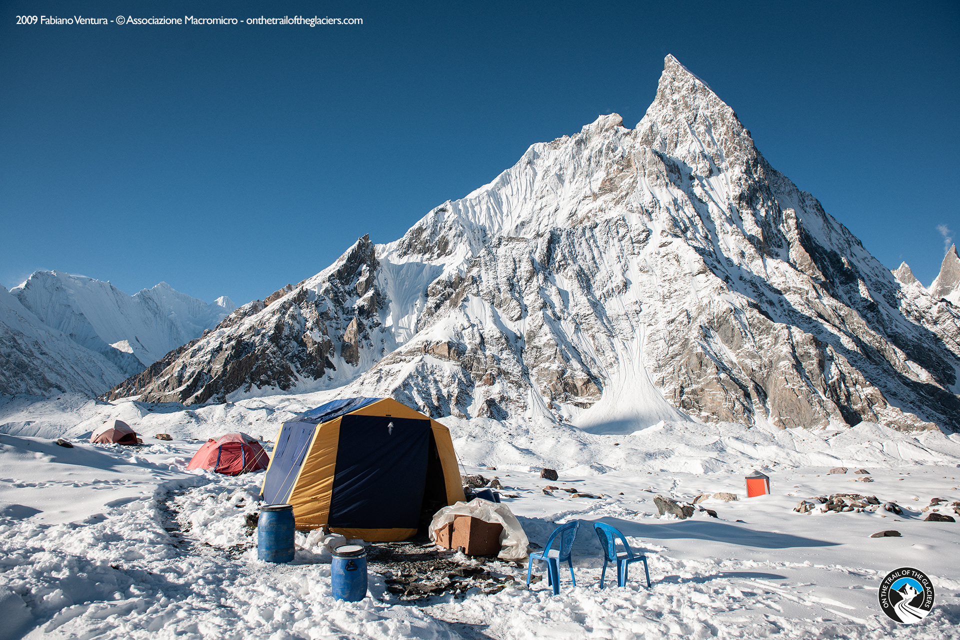
Backstage pictures